A Map of Natural Metal Traps
Gold and other heavy metals settle where the current slows. We score entire stream networks for that geometry, region by region.
Choose your region
One engine, many regions. Live where the stream network is already scored, in construction where it is not yet — every region gets its own page as it comes online.
 Live
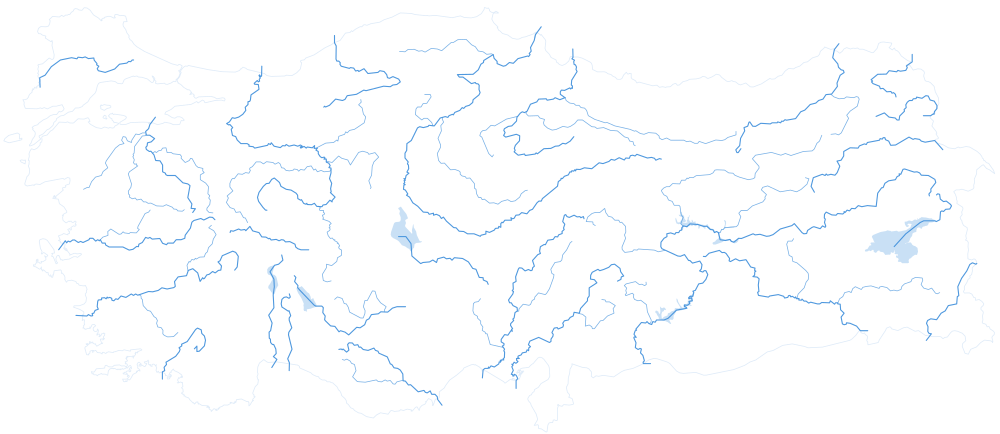
LiveTürkiye
The full national stream network, scored and live. The product is in Turkish.
Open →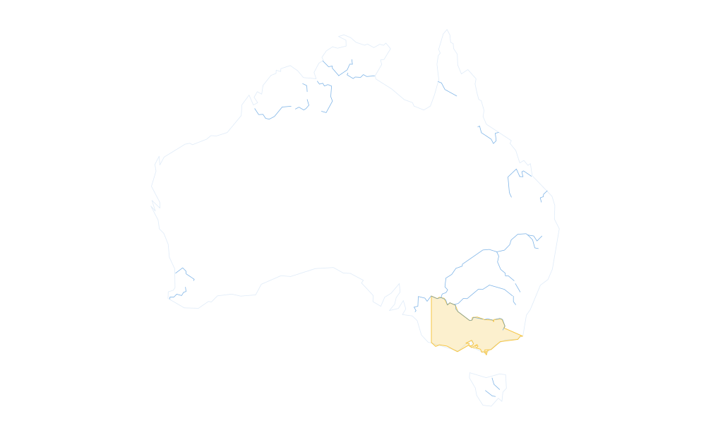 In construction
Australia
Victoria first: the Golden Triangle’s alluvial gullies, the country stream-trap physics was made for.
See the plan →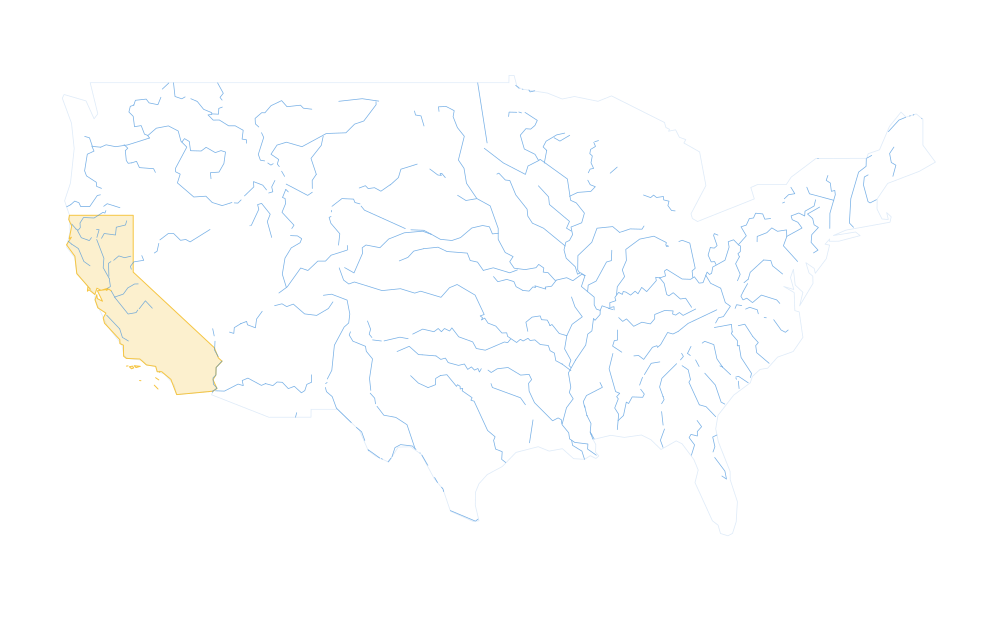 In construction
United States
Mother Lode, Nevada, Alaska: the largest recreational prospecting community in the world.
See the plan →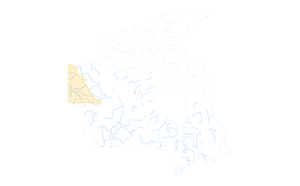 In construction
Canada
Klondike creeks and British Columbia’s placer rivers — big country, thin roads.
See the plan →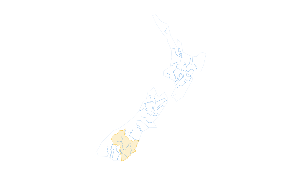 In construction
New Zealand
Otago schist and West Coast rivers: fine gold in every gully, cold water in every one.
See the plan →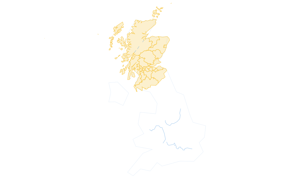 In construction
United Kingdom
Scottish burns and Welsh valleys: small gold, a long memory and a dense community.
See the plan →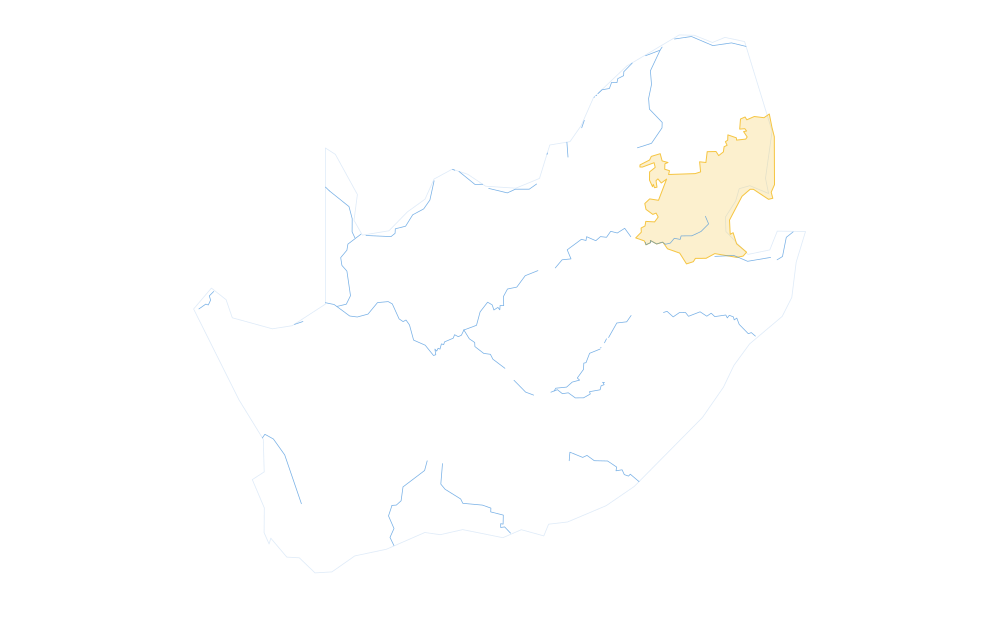 In construction
South Africa
Pilgrim’s Rest, Barberton and the streams draining the oldest gold rocks on the planet.
See the plan →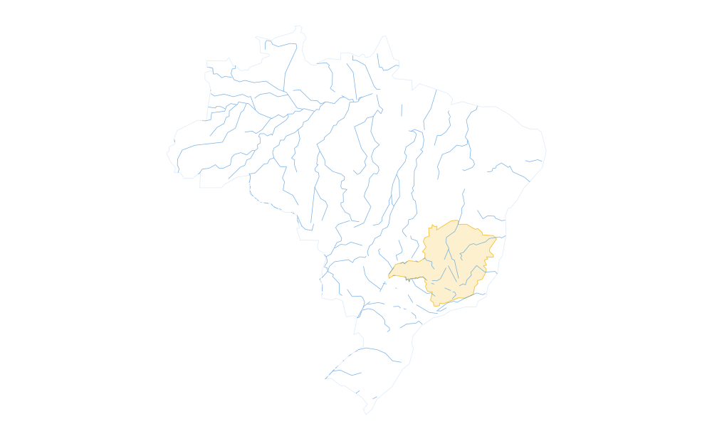 In construction
Brazil
Minas Gerais: where the world’s first great placer rush began, and the streams that made it.
See the plan →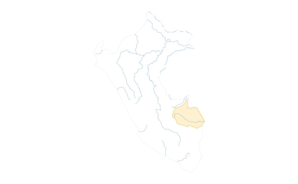 In construction
Peru
Andean headwaters and the Madre de Dios placers — vast, remote, and barely mapped.
See the plan →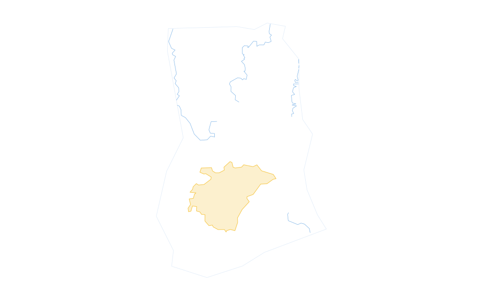 In construction
Ghana
The Ashanti belt: West Africa’s richest gold country, worked by hand for a thousand years.
See the plan →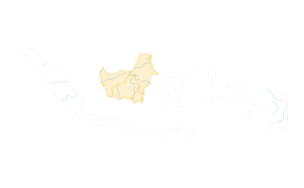 In construction
Indonesia
Kalimantan and Sumatra: tropical placers on an enormous, wet stream network.
See the plan →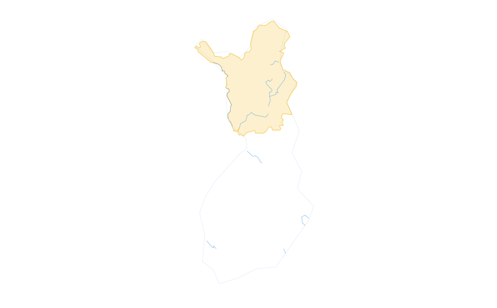 In construction
Finland
Lapland’s Lemmenjoki and Ivalojoki: the last classic gold-panning rivers in Europe.
See the plan →How it works, in one minute
Heavy grains drop out of a stream wherever the water loses the energy that carried them. We read the terrain for the four places that happens and score every stream segment on how strongly its shape says “slow down here”.
Slope breaks
Where a steep reach flattens, the current loses the energy that carried heavy grains. Gold drops before anything else.
Inside bends
Water runs fastest on the outside of a bend and slowest on the inside. The bar on the inside is where the heavy fraction settles.
Junctions
Where a tributary joins, the flow slows and spreads. The downstream side of the confluence keeps what both streams carried.
Bedrock constrictions
Where the valley narrows to rock, the bed is scoured to bedrock and every crack works as a riffle.
Every region page has its own full “How it works”: the elevation data behind it, what a realistic day looks like there, and what the score does not do.
Proven at country scale
The engine already runs an entire country end to end: every stream is scored for trap geometry — slope breaks, inside bends, junctions and bedrock constrictions — from 30 m elevation data, and live today.
- scored segments to date
- 4,571,723
- streams analysed to date
- ~1,100,000 km
- terrain resolution
- 30 m
Prospect somewhere we should map next — or run a club or channel? We would like to hear from you.
GOLDONGO is a terrain-screening tool. A score is not a promise of gold, and it is not a licence: check land status and follow local rules before you dig.